
During each severe weather season (and throughout the year) I almost always have Gibson Ridge software’s GRLevel3 app running. On the road it’s tethered to my Sprint network data connection — so far the best data service I’ve had in rural Tornado Valley.
Below I’ve listed some weather programs, applications, and services. While this is by no means exhaustive, these are all programs I’ve personally used and will use again during severe weather operations.
Update: For my latest recommendations, including Windows Phone apps, see my Weather Apps 2013 post.
 GRLevel3 grlevelx.com
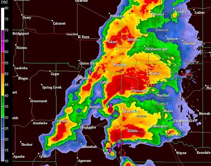
GRLevel3 is a Windows viewer for NEXRAD Level III radar data from the National Weather Service. With the addition of backgrounds, shapes and placefiles, you can customize the display in detail. Many television station broadcasters use this product to display radar data to their served area (although you wouldn’t know it after it’s deeply customized).
 AllisonHouse.com allisonhouse.com
AllisonHouse is a data aggregation and integration service specializing in weather data. AllisonHouse provides faster and more reliable data access to radar scans than the public NWS systems, while expanding available data feeds to include almost any NOAA Storm Prediction Center product.
 Scanner Radio Google Play
Allows you to listen to online radio repeaters for police and fire scanners, weather radios, and amateur radio from around the world. Although Weather Underground provides weather radio broadcast repeaters, this app makes browsing and listening to the closest scanner a breeze. Similar apps are available for iOS.
 SpotterNetwork spotternetwork.org
Tracks live position, contact information, and storm reports of chasers and weather spotters. Integrates seamlessly into both GRLevel3 and RadarScope for live position reporting and viewing.
 RadarScope Google Play
Displays reflectivity, velocity, and other radar products from any NEXRAD radar site. Supports receiving data from AllisonHouse.com for high-availability and reliability of data services when the NWS public site is busy (such as during severe weather operations).
• Garmin USB GPS Receiver
Roof-mounted GPS receiver for better coverage and reception during storms. Integrates with GRLevel3 to plot current position on top of live radar data, allowing for critical position decisions to be made when seconds matter. I use Franson GPSGate software to share this COM device with several applications simultaneously, such as the SpotterNetwork update client.
 TweetDeck Google Play
This Twitter client allows you to save a search and maintain live updates by keyword or hashtag. I keep a page open of #okwx to monitor all Oklahoma Weather reports, for example.
 National Weather Service
Of course it should go without saying that I make heavy use of NOAA’s products from the National Weather Service and the Storm Prediction center. Their sites are vast, but you should bookmark at least spc.noaa.gov and weather.gov. There are also handy shortcuts, including weather.gov/norman for the Norman Forecast Office (OUN) webpage.
• Weather Radio
While online services are useful and convenient, they are by their very nature prone to failure during emergencies. Power outages, data failure, or network congestion can all cut off your critical information in life-or-death situations. Keep a weather radio and fresh batteries available at all times. And most importantly, keep the weather radio on, especially when you go to sleep! Warning sirens outdoors may sound loud enough to wake you during the Saturday tests, but during heavy storms their alerts are drowned out by rain, thunder, and atmosphere.
Leave a Reply